
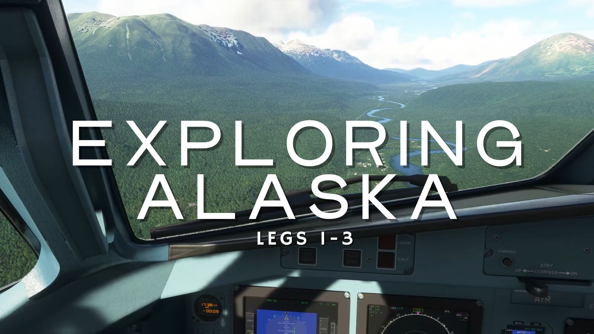
Since I posted the video exploring Denali earlier this year, I’ve had the chance to finally begin the journey through Alaska. Although it’s a slow process, about one recorded flight per week, it’s making progress. In this post, I want to briefly review the first three legs of this journey made earlier this year and some of the highlights.
The Plane
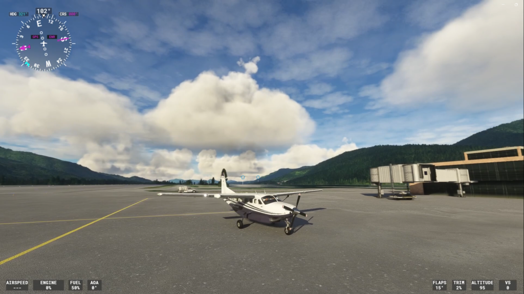
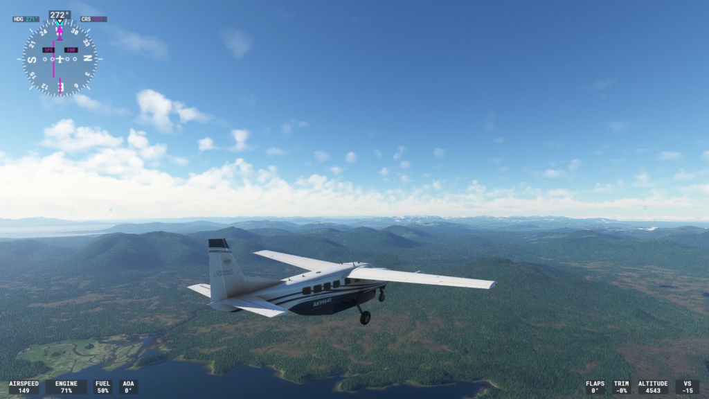
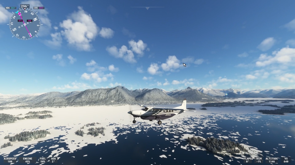
These first three legs were flown with the Cessna 208 Caravan. It’s a common bush plane here in Alaska and it felt appropriate to use it when practical. Another reason I like this plane is because it’s easy to fly, it can land on relatively short runways and because the wings are on top of the body of the plan, you can see the scenery pretty well.
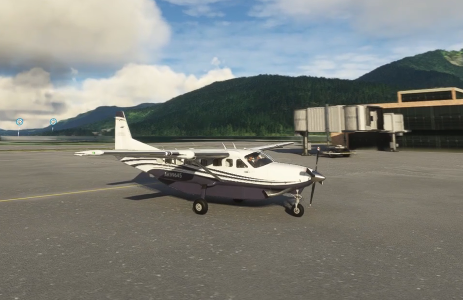
For some longer legs, I’ll likely switch to the King Air, another favorite of mine. We may do a seaplane or two as well, since there are several routes on the way that are next to water.
The Route
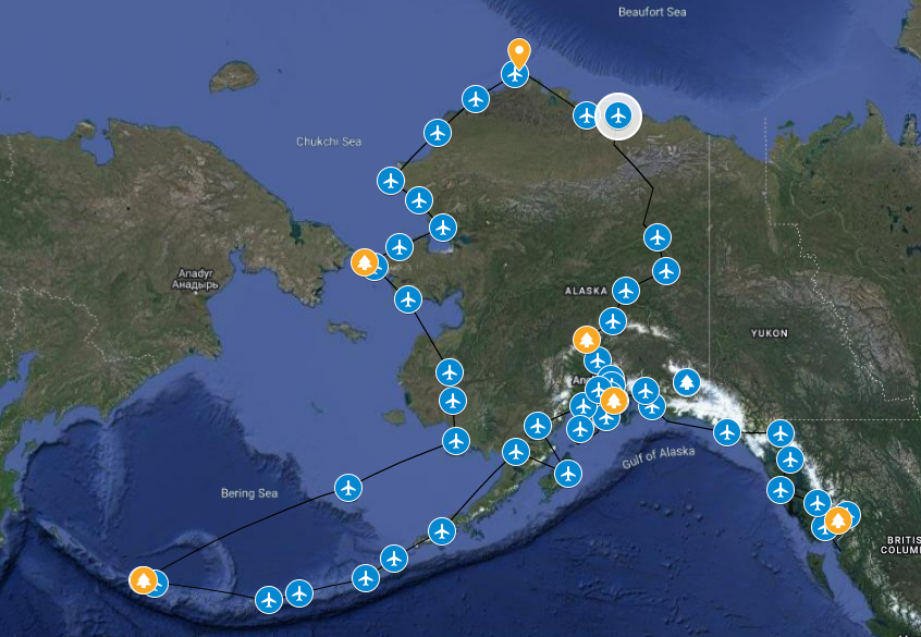
Speaking of various legs, as I alluded to in the Denali video, the intent here is to fly around Alaska. We won’t cover all of it, but we’re going to begin in the southeast, head north towards southcentral Alaska before we head down to the Aleutian chain. After that, we’ll jog up the west coast and hit some of the cities there on our way to the north slope. Of course, we’ll stop on an island just a stone’s throw from Russia. Then, we’ll head down to the interior, pay Denali another visit, but approaching from the north this time. We’ll end our journey back in the Anchorage area. All together, we’re looking at over 6,500 miles of flying (based on what Google Maps is telling me when I draw the route) and we’re going to try to do it in 30-45 minute legs (with a few exceptions).
The map below gives you a general idea of the route and the stops we’ll be making. I’ll likely make a few variations from the below as we progress, but this is the general route.
With that said, let’s kick this journey off!
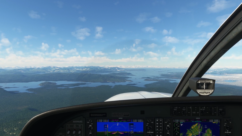
Stewart to Ketchikan
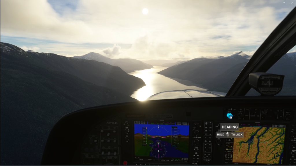
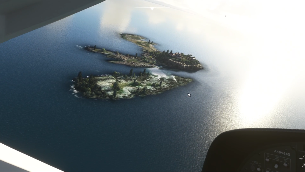
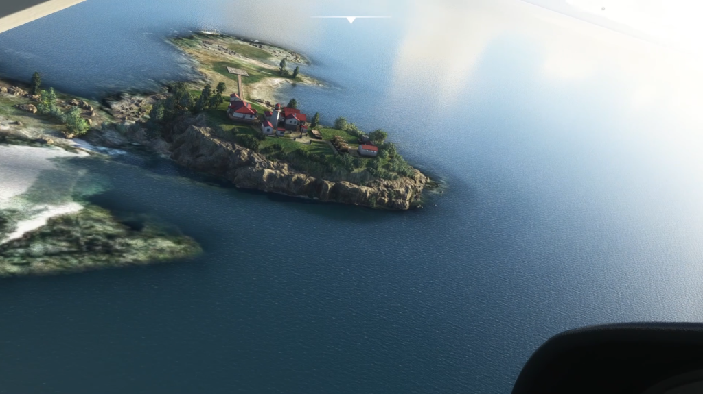
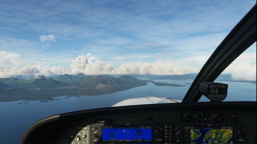
The first leg actually begins in British Columbia, Canada, in the city of Stewart. Initially, I was going to begin the journey on Prince Rupert’s island, just south of Ketchikan, but after seeing the scenery of the Portland Canal that leads to Stewart, I couldn’t resist. Considering that the US-Canada border goes right down the middle of the canal, flying the length of it would mean straddling the borders for a good part of the flight. Then, the Green Island Lighthouse is a nice scenic point of interest on the way to Ketchikan.


One of my goals with this series is to explore Alaska, the state that I live in, but also let you explore with me. To do this, I had initially intended to fly these legs with one of the default weather settings in Flight Simulator. After all, if we’re flying to see Alaska, let’s see Alaska. That’s what I did on the Denali flight, and that’s what I ended up doing on leg one.
However, I did try live weather to see what it would be like. Visibility was close to zero, it was pouring rain and gusty. I promptly switched to scattered clouds and sun.
The flight itself was uneventful. I have to admit, I love this part of Alaska. The waterways, the mountains, it’s just beautiful. The Green Island Lighthouse was a nice highlight as well, since it’s an official POI in the game, so it looks extra good.
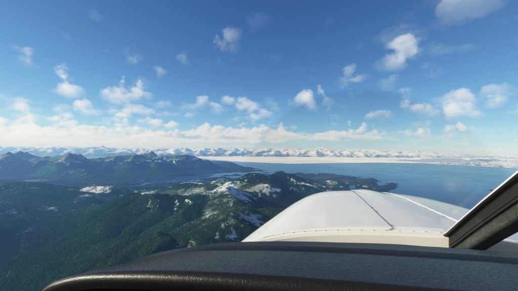
Ketchikan to Wrangell
For me second leg, I did some thinking about the weather. Sure, we want to see Alaska, but without live weather, do we really get to experience it? I loaded this leg up with live weather to see what it would be like. It was rainy, but not as bad as it had been on the first leg. I decided to give it a try. After all, if it didn’t work out, I could always fly it again.
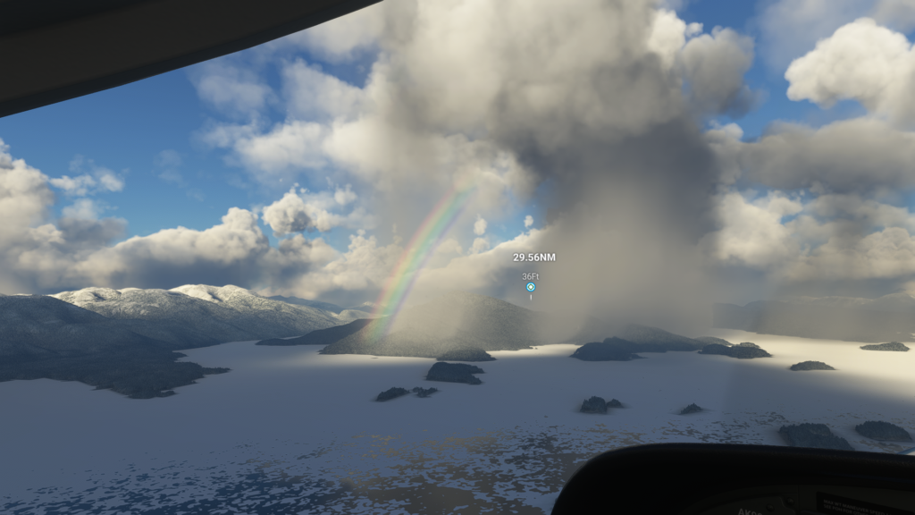
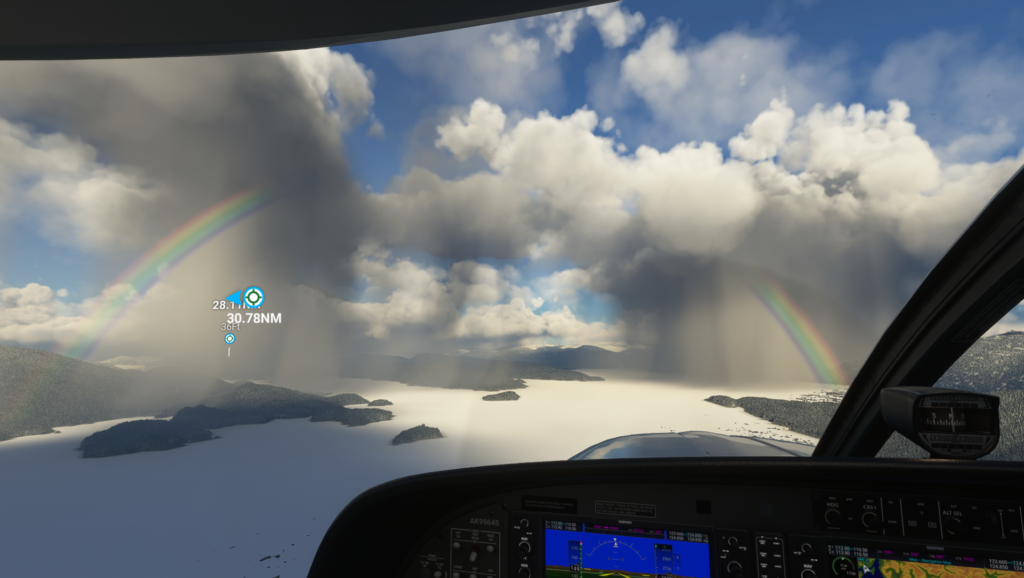
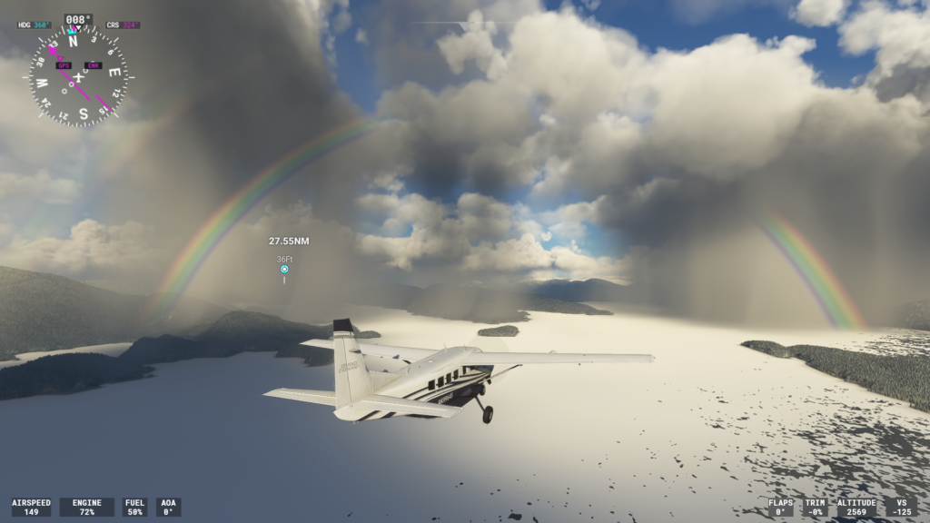
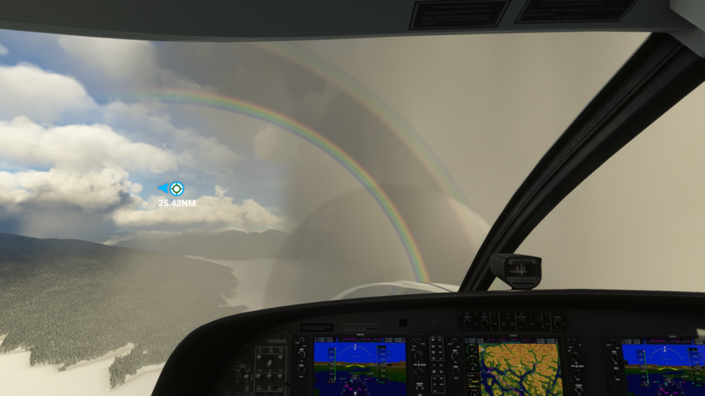
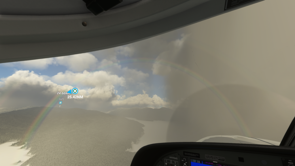
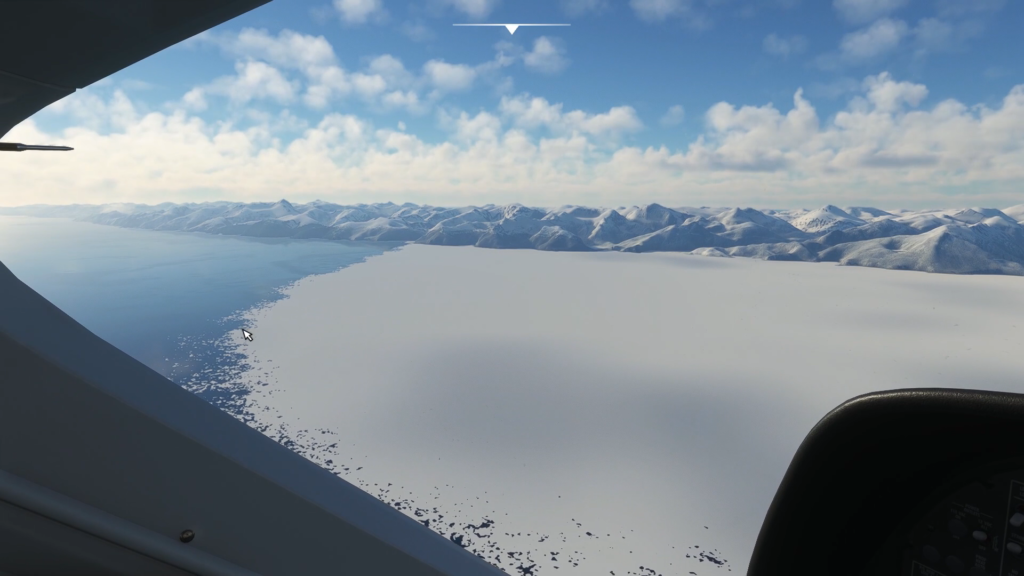
I’m glad I used the live weather. This short flight was one of the most exciting ones I’ve done in Flight Simulator. I took off in rain, which fairly quickly gave way to cloudy skies, with sun visible on the mountains in the distance. Curtains of rains were visible in the distance in multiple occasions and I passed through several others. I encountered not just one rainbow, but a double rainbow during this trip, something I hadn’t expected at all. It was just phenomenal. To cap it off, I passed over the transition from ice to open water, with scatter ice floats all along the transition.
Regardless of all the details you see elsewhere, say in NYC or other large cities, this by far was the most exciting for me. It’s well worth watching it to catch a wide variety of weather phenomenon.
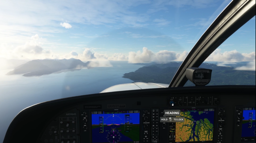
Wrangell to Sitka
This leg is interesting for a couple of reasons. Wrangell is a tiny airport while Sitka is an airport frequented by jets. Yet, it’s precarious to fly into because the runway is surrounded by water on all sides. I’ve only flown in there a couple of times and it is a little nerve wracking to see how close the water is to the runway.
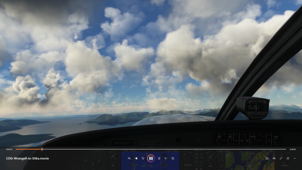
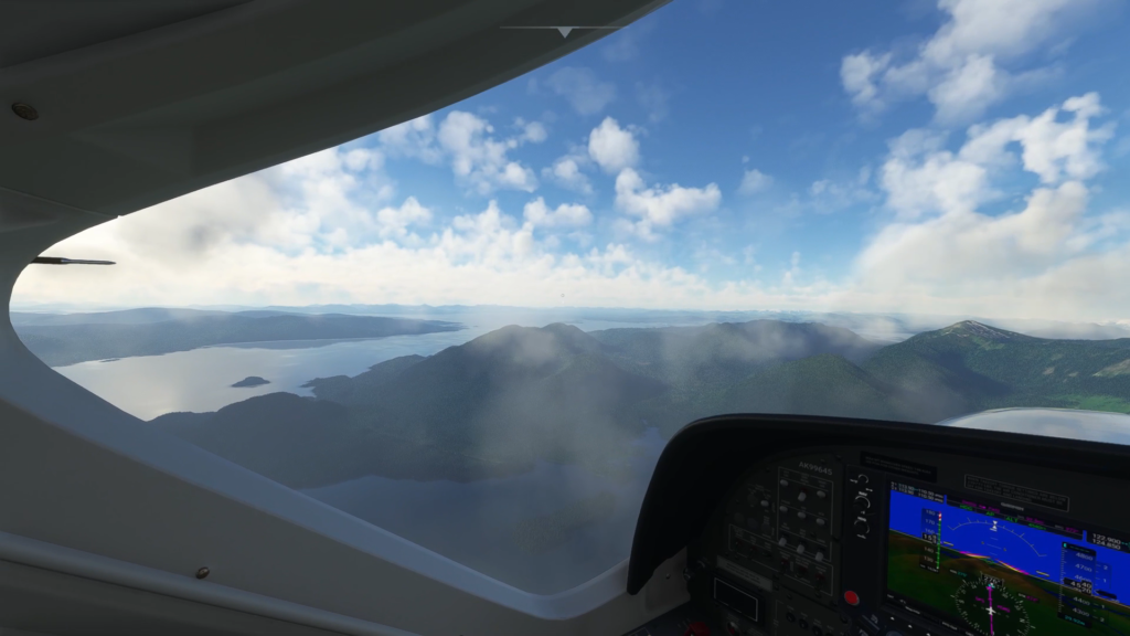
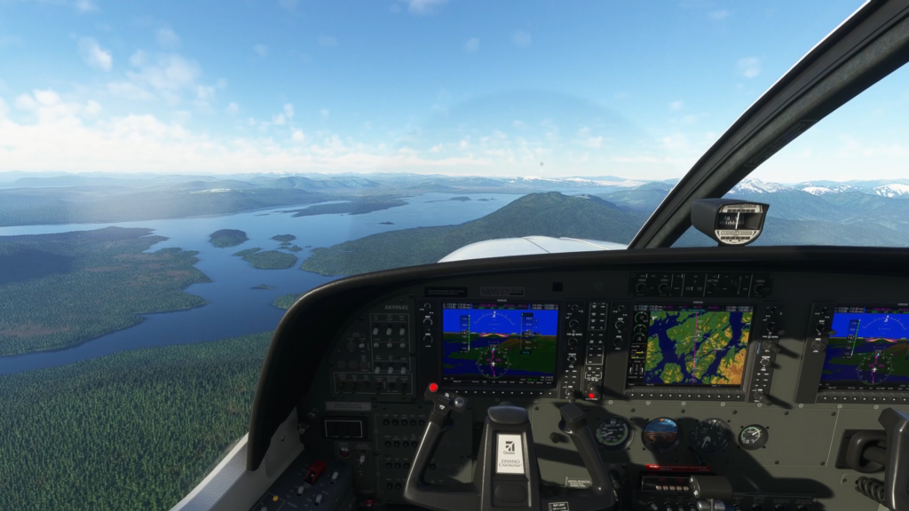
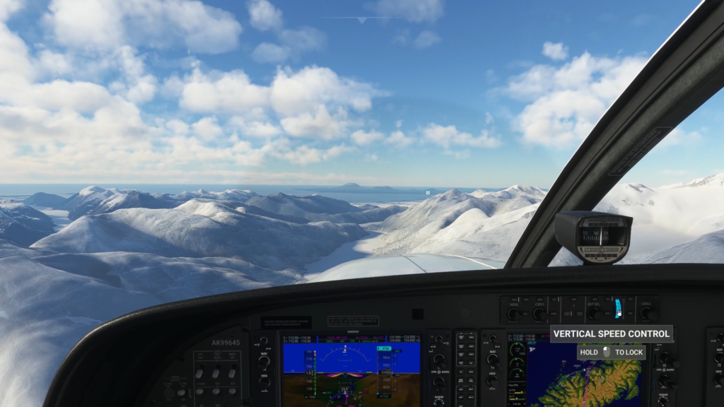
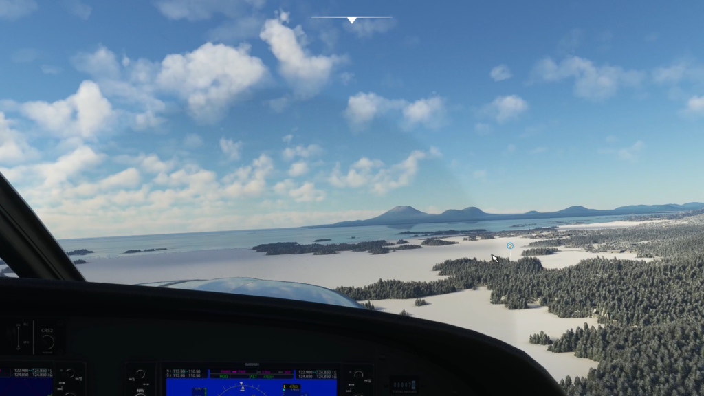

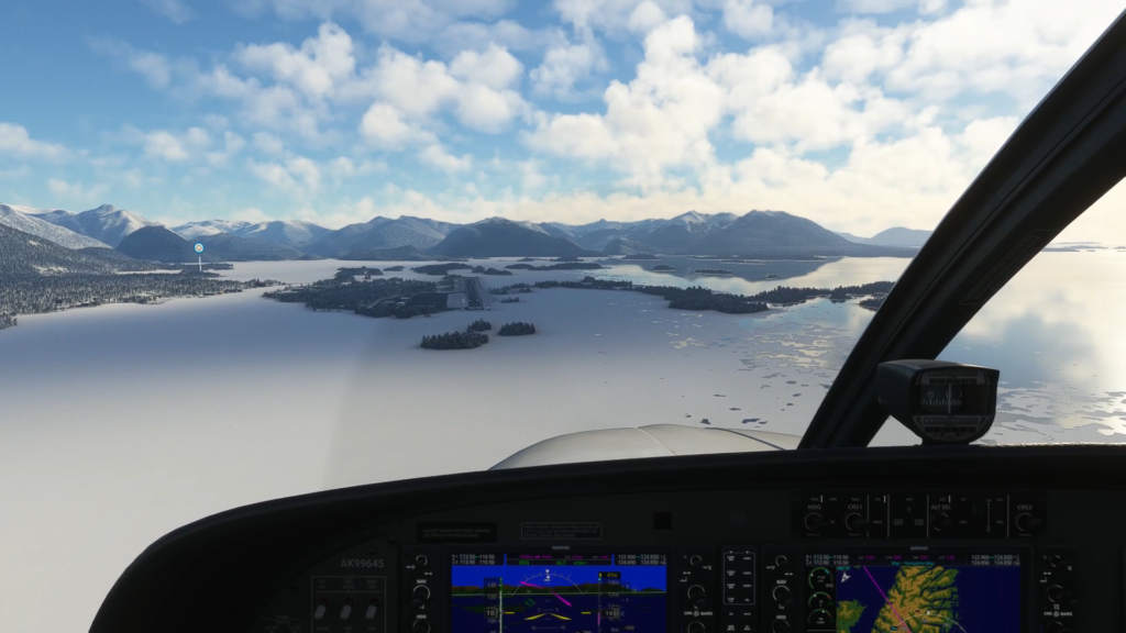

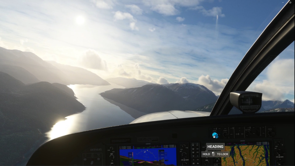
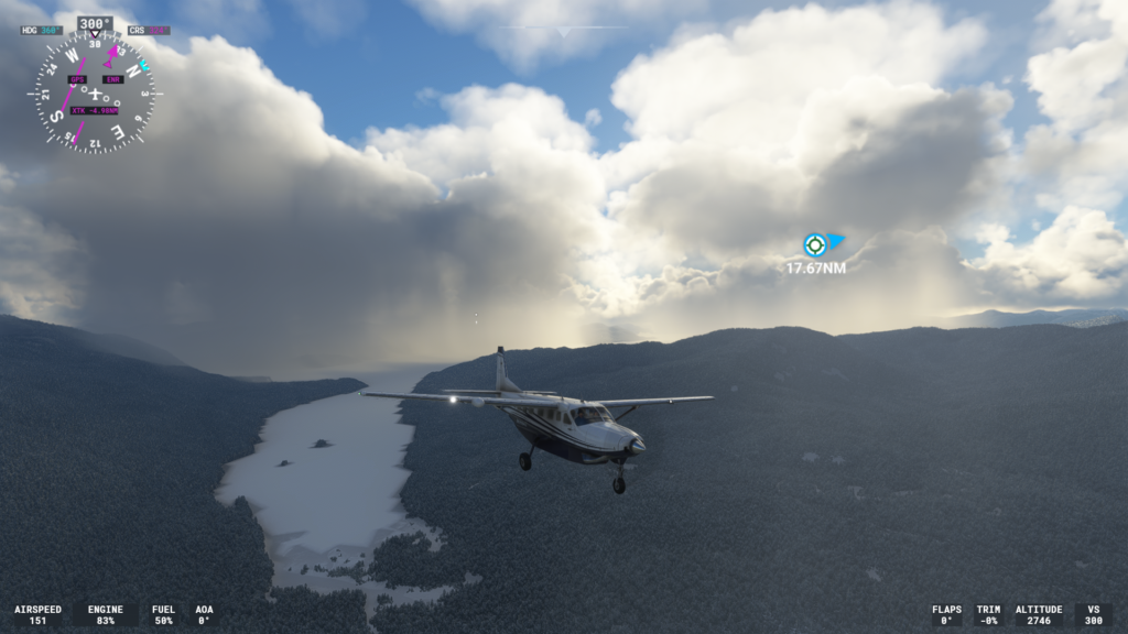
I flew this fight with live weather as well. Luckily, this time the weather was actually quite good and the flight itself was uneventful. The first part of the flight crosses a large island before we pass over one of the large canals of the southeast. There’s a bit of altitude gain to cross over Baranof Island before we descend through the valley that hosts Green Lake and Silver Bay. After doing a bit of a fly-by of the airport, we turn around and land.
That wraps up this summary of the first three legs of this journey. On our next leg, we’ll leave Sitka and fly into the capital of Alaska, Juneau. It won’t be a direct flight to the airport simply because Juneau stretches so far along the coastline that heading just to the airport, we’d miss a lot.
Whether I’ll be using live weather or not depends. I figure that if I can see where I’m going with live weather, that’s what I’ll use, if not, I’ll use one of the default settings.
We’ll see you on the next flight!